
Carte Hawaï
Cartes et géographie
Vous repérer à Hawaï

Cartes et infos de chacune des îles
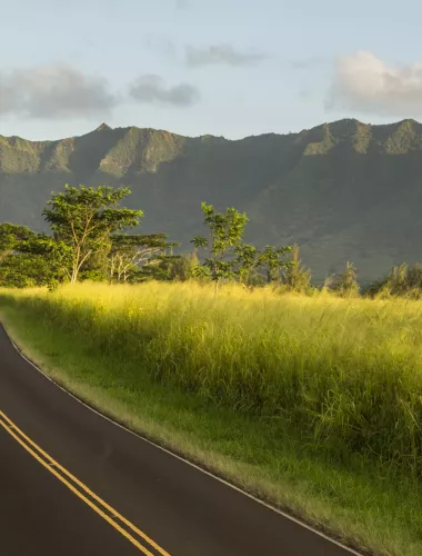
Kauaʻi
Green taro fields, coastal cliffs and rugged canyons are among the magnificent sights on a drive across The Garden Isle.
En savoir plus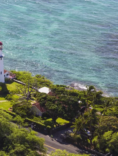
Oʻahu
Cruise to Oʻahu's famed North Shore or take a day trip to the lush Windward Coast—just two of the rich geographical regions of this most populous Hawaiian Island.
En savoir plus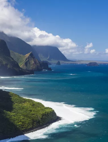
Molokaʻi
With one main two-lane road connecting this 38-mile-long by 10-mile-wide island, Molokaʻi is easy to drive and exciting to explore (plus, you'll probably have most of it to yourself).
En savoir plus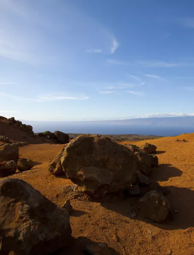
Lānaʻi
Notoriously rugged and windswept beyond the resort areas, tiny Lānaʻi possesses only 30 miles of paved roads, but with a little adventurousness (and four-wheel drive), visitors will discover some of Hawaiʻi's most unique landscapes.
En savoir plus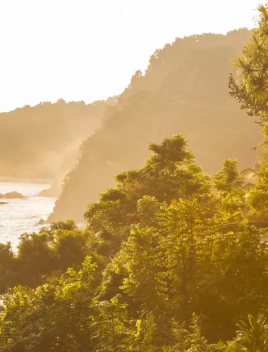
Maui
Home to perhaps Hawaiʻi's most famous roadway, the legendary Road to Hāna, Maui is blessed with an amazing range of geographic zones, from sea-level beaches to the summit of Haleakalā at 10,023 feet.
En savoir plus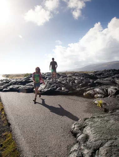
Island of Hawaiʻi
The island is almost double the size of every other Hawaiian Island combined, with roads that take visitors through sleepy fishing villages, stunning sea cliffs and even lava fields.
En savoir plusGetting Around Safely
